Amy’s Advice: Ask the Question
CEO Amy Squitieri’s curiosity has led to countless opportunities. Her advice to emerging leaders? Ask the question.

New Mead & Hunt Parts Website Now Available
Clients can now access our online platform for faster parts procurement, while also benefiting from our engineering design expertise.

Mead & Hunt Releases 2025 Responsibility & Resilience Report
Our Responsibility & Resilience Report reveals how we uphold our enduring values to take care of people and do the right thing.
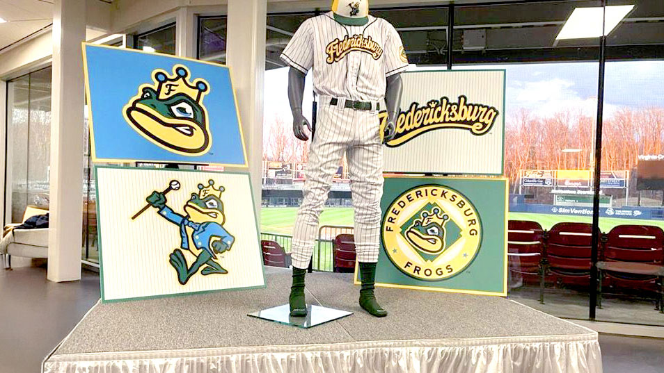
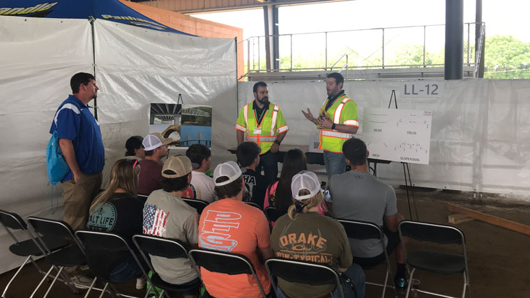
Bringing the Fredericksburg Frogs Back to the Field
Through the early 1930s, this all-Black team played on fields across the Fredericksburg, VA region. Now the Nationals are paying homage to the Frogs.
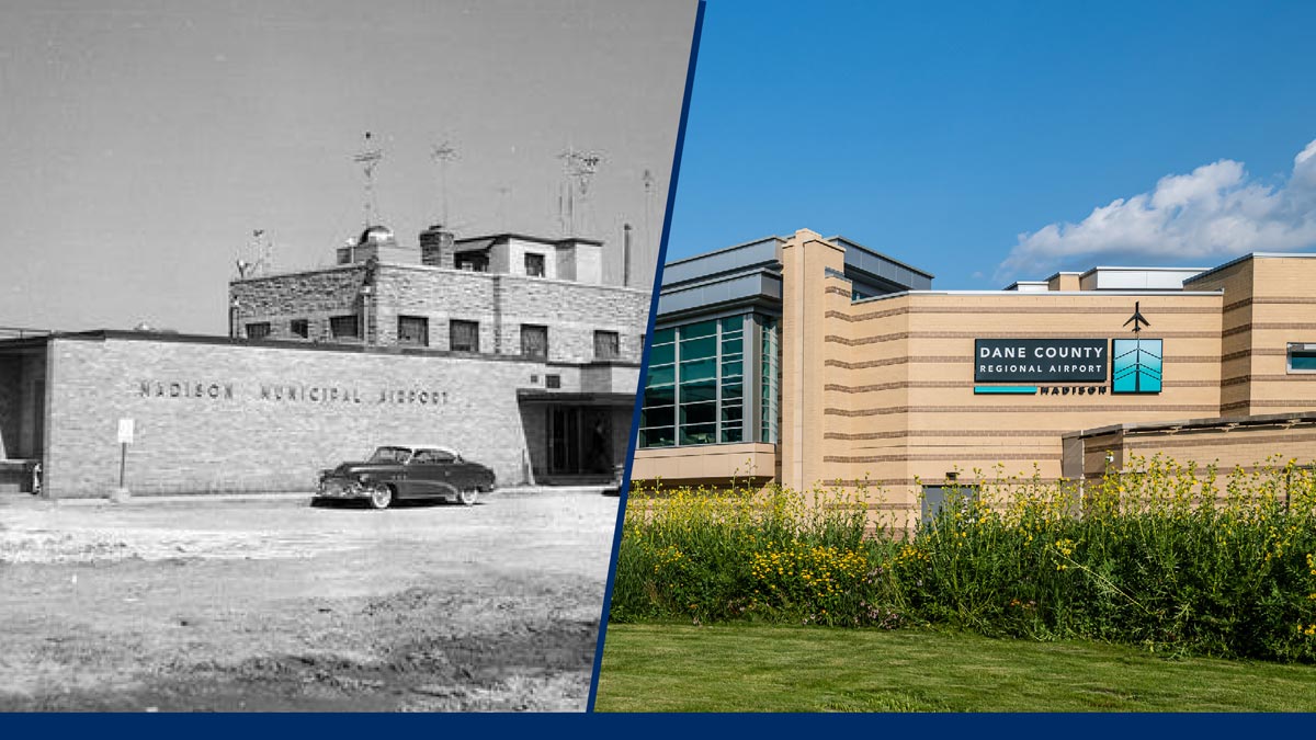
Growing Together: 80 Years of Partnership with Dane County Regional Airport
Eighty years ago, our work at Dane County Regional Airport helped establish Mead & Hunt in aviation engineering. We’ve been growing together ever since.

Laurie Whitney Named Architecture & Building Engineering Group Leader
With nearly 30 years of experience, Laurie Whitney steps into leadership of our ABE group with a vision to transform communities through inspiring design.
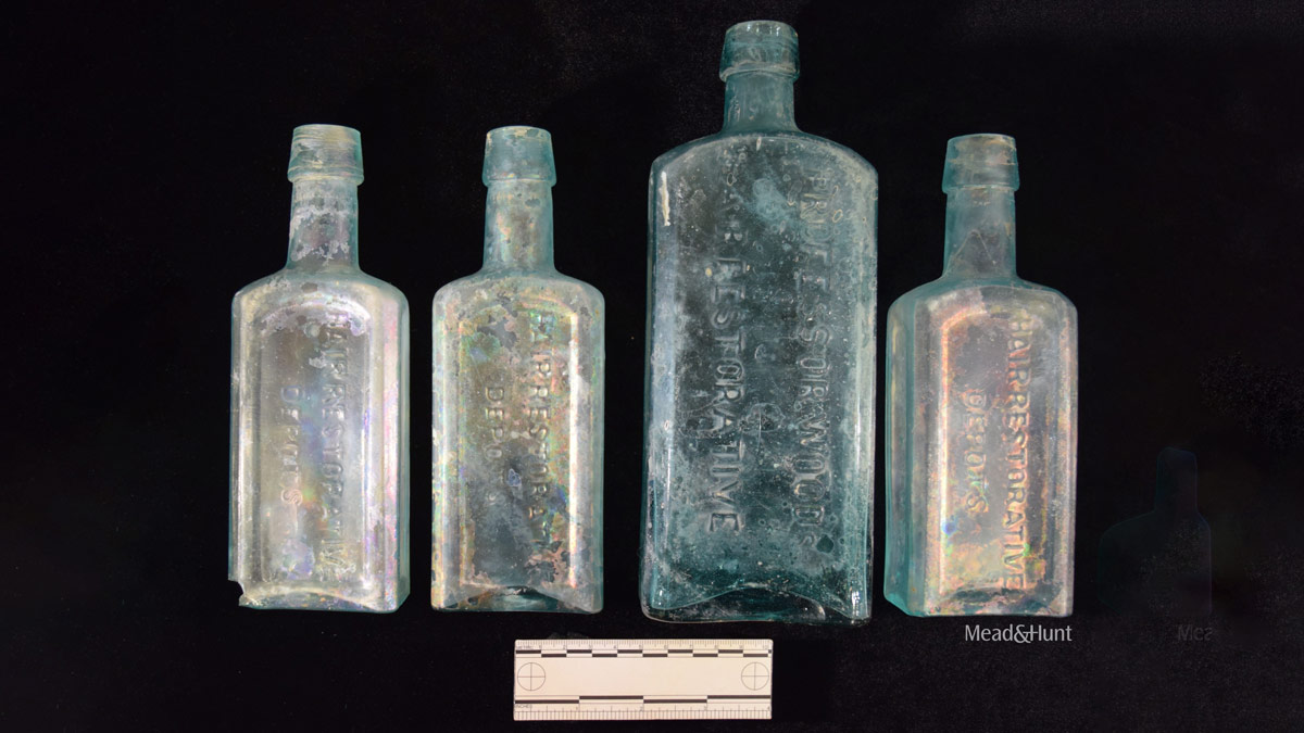
Male Vanity: Just for Men in the 19th Century
Archaeological dig unearths Victorian hair dye bottles secretly discarded in privies, revealing hidden truths about 19th-century men’s grooming habits.

6 Technologies and Trends That Will Impact the Future of Transportation (Updated for 2026)
Three years ago, we forecasted where transportation tech was headed. Some trends stayed on track, others derailed. Here’s what 2026 looks like now.

2026 Mead & Hunt Scholarship Applications Now Open
Calling all students! We are proud to offer several $3,000 scholarships for AEC studies Apply by March 1.
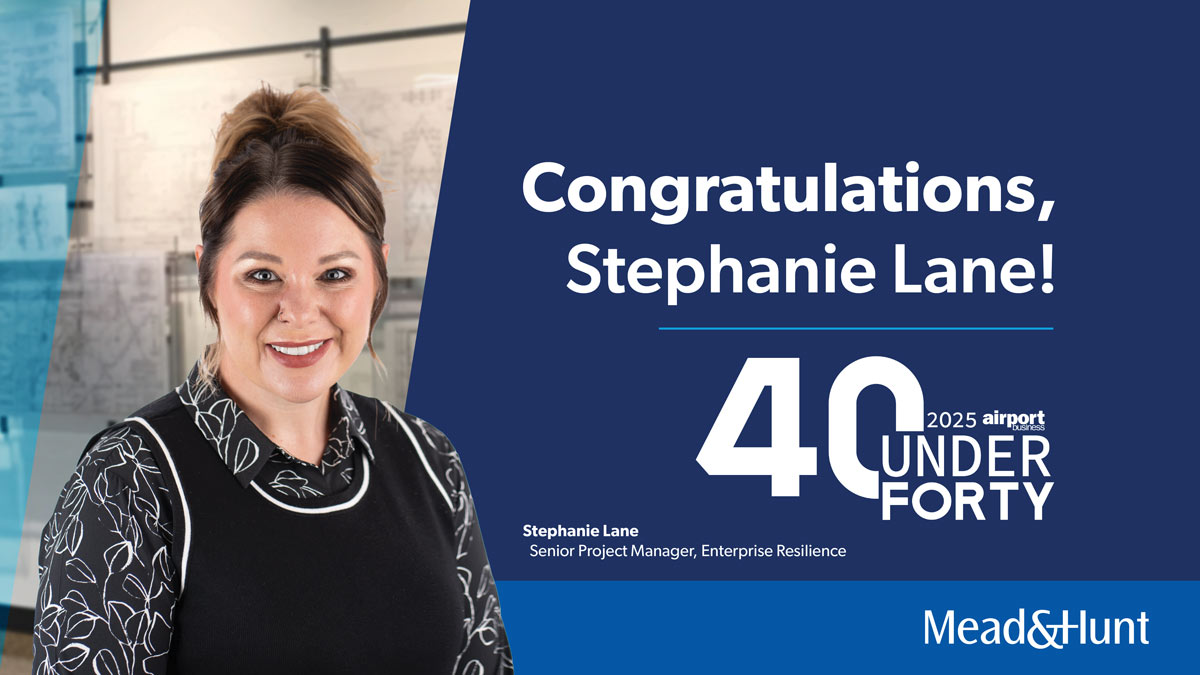
Stephanie Lane Recognized as Top 40 Under 40
Congrats to Stephanie Lane on earning a spot in Airport Business Magazine’s Top 40 Under 40 for 2025.

The Intersection of Past and Future in Transportation
From horse-drawn chaos to AI-powered signals, traffic technology has come a long way. Here’s where we’ve been—and where we’re headed next.
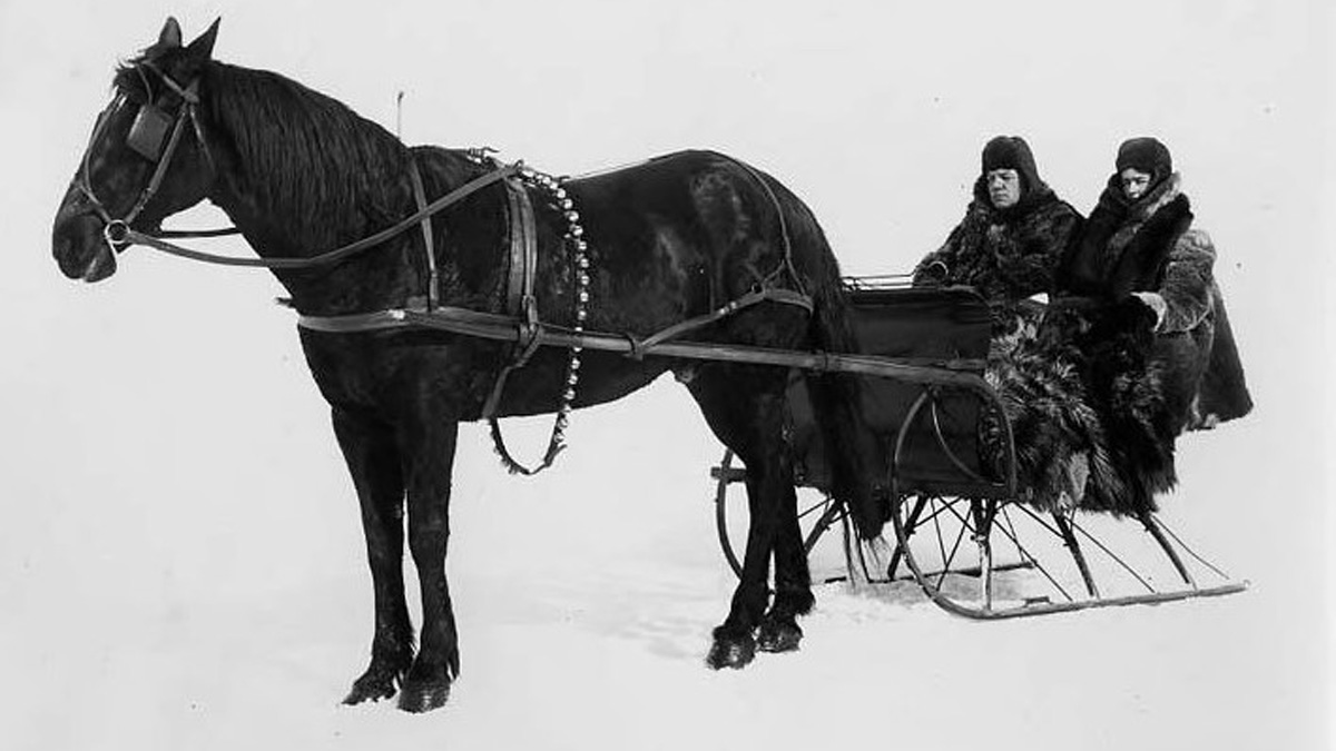
Sleigh Bells Ring, Are You Listening?
Jingle all the way to a historic find: how a brass horse bell unearthed at Dickinson Plantation reveals centuries of festive traditions.
- All
- Architecture & Interiors
- Awards
- Construction Services
- Engineering
- Environmental
- Food & Beverage
- Life at Mead & Hunt
- Planning
- State & Local
- Sustainability
- Technology
- Transportation
- Water
- All
- Architecture & Interiors
- Awards
- Construction Services
- Engineering
- Environmental
- Food & Beverage
- Life at Mead & Hunt
- Planning
- State & Local
- Sustainability
- Technology
- Transportation
- Water
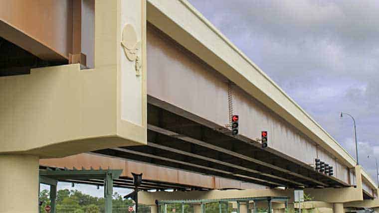
5 Practical Guidelines for Designing Steel Plate Girder Bridges

7 Key Principles of Roundabout Design

Is an “RCUT” a Piece of Meat?

Quality Assurance vs. Quality Control: What’s the Difference?

Why is ADA Compliance Important?

Designing for a Future Climate – The Future is Now
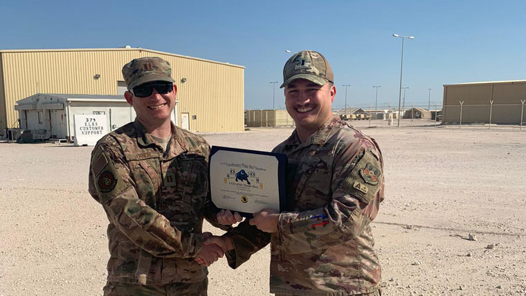
Military Appreciation Month Profile: Rob Vernon
Mentoring the Next Generation of AEC Professionals

FERC Issues Revised Guidance for Supporting Technical Information Documents
Good Stormwater Management: Key to Airport Resiliency

5 Ways to Help Protect the Planet this Earth Day